Cienfuegos Geography.Cuba
Known as “La Perla del Sur” or “La linda Ciudad del Mar” (the Pearl of the South or the Beautiful city of the sea), Cienfuegos occupies a privileged position in the southern center of Cuba. The surface area of Cienfuegos province is 4,188.61 km2, making it one of the three smallest in the country. With a population of 406,847 inhabitants and a population density of 97.1 inhabitants / km2. It limits the north with the provinces of Santa Clara and Matanzas. To the east with the municipality of Manicaragua (province of Villa Clara) and with the municipality of Trinidad (province of Sancti Spíritus). To the south, it limits with the Caribbean Sea and to the west with the municipalities of Ciénaga de Zapata and Calimete from Matanzas. It is made up of eight municipalities: Aguada de Pasajeros, Rodas, Palmira, Lajas, Cruces, Cumanayagua, Abreus and Cienfuegos.
The plains of Cienfuegos and Manacas predominate. To the east the heights of Santa Clara and the mountains of Guamuhaya, where it is located the Pico San Juan, the second highest elevation in the country with 1140m, and the cave Martín Infierno with a stalagmite of 50 meters high, there are deposits of materials for construction. It has several rivers: Hanábana, Caunao, Arimao among others, besides the medicinal-mining and thermal waters of Ciego Montero.

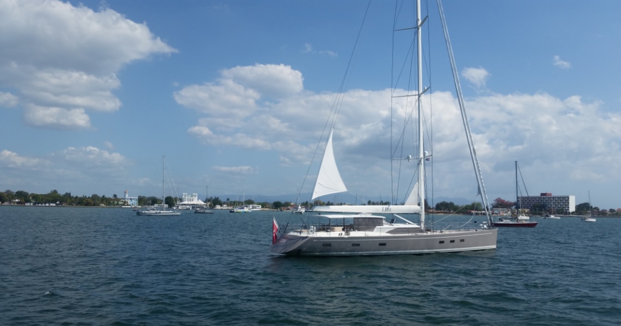
The bay of Jagua, one of its greatest attractions, has fostered the economic and tourist development of this city, due to its privileged location and conditions, for what it is today one of the most important ports in the country and one of the perfect sites to practice nautical sports.

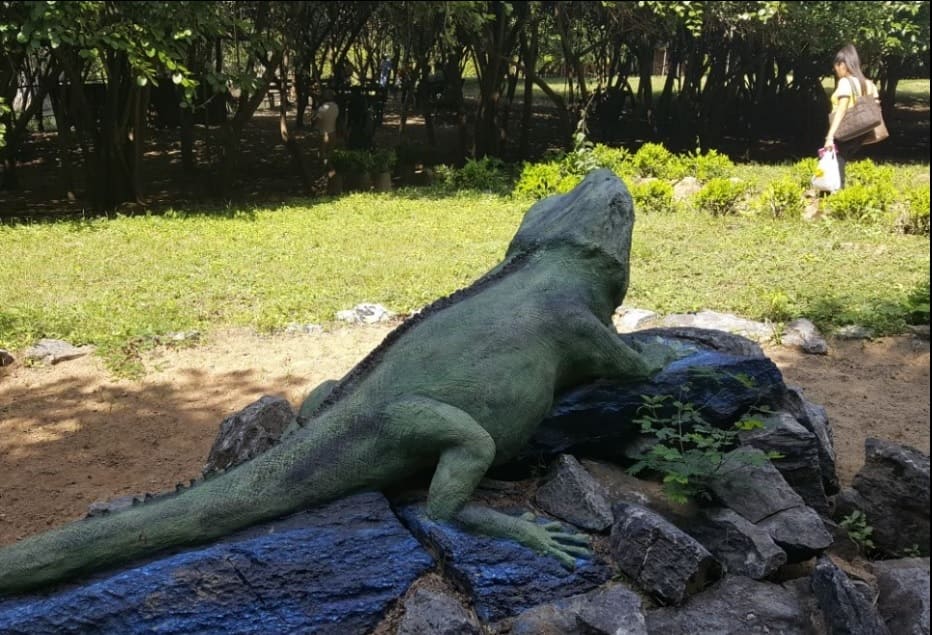
The flora and fauna are characterized by a rich ecosystem and great biological diversity. There are several natural attractions in Cienfuegos, standing out the following: Guanaroca Lagoon, El Nicho Natural Park, the Iguana Valley, among others, all this without talking about the beaches in the south of the province: Rancho Luna, Playa Inglés and Yaguanabo.